
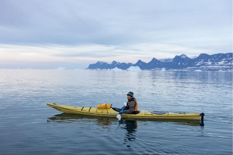
Cold Water and Tidal Gates: Navigating Cobscook Bay by Sea Kayak

Understanding Cobscook Bay and the Power of the Western Passages
Cobscook Bay is not simply a scenic corner of Downeast Maine. It is a moving landscape of spruce-covered islands, exposed ledges, working harbors, muddy coves, and channels that can change character within a single tidal cycle. Fog may soften the shoreline in the morning, while afternoon sun reveals long bands of current, drying rock, and the wake of commercial traffic. For experienced sea kayakers, that combination gives the bay its reputation: beautiful, remote, and demanding in ways that reward exact preparation.
The Bay of Fundy tide funnel drives unusually large water-level changes and powerful horizontal currents through the passages around Lubec, Campobello Island, Deer Island, and the western reaches of Passamaquoddy Bay. Generic open-water advice is not enough here. A route that appears straightforward on a chart can become a moving series of gates, eddies, boils, and standing waves as water accelerates through constricted headlands. Cold water adds another nonnegotiable hazard. Even when summer air feels warm, immersion can quickly compromise breathing, coordination, and judgment, so the trip must be planned around the water temperature rather than the forecast high.
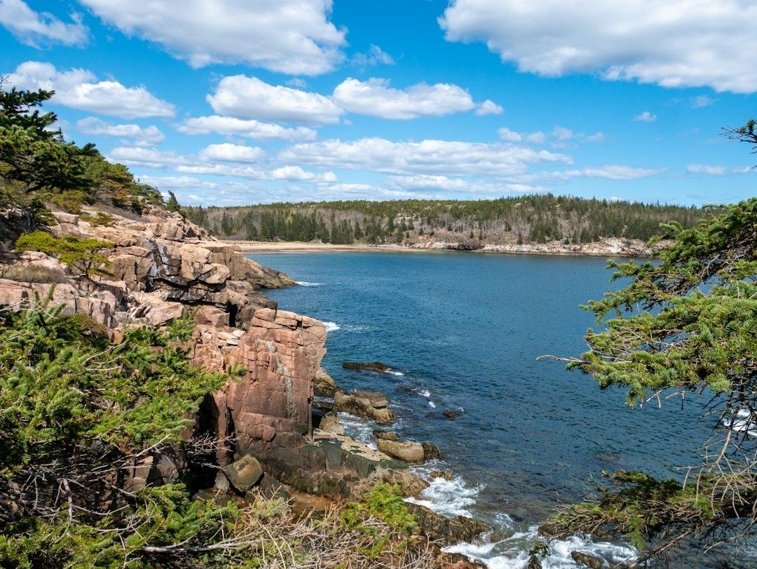
The Dynamics of 20-Foot Tides and Narrow Reversing Entrances
Large tides do more than expose and cover the shoreline. They displace enormous volumes of water through narrow openings, creating currents that may run in different directions on opposite sides of an island or headland. Lubec Narrows and Western Passage are especially important examples. The U.S. Coast Pilot describes strong tidal currents in these passages and notes that local knowledge is advisable around Lubec Channel and Narrows, where exposed shoals and changing low-water conditions add complexity to a federally dredged channel.
A tidal gate forms where the available cross-sectional area becomes too small for the moving water. The flow speeds up around rocky bottlenecks, submerged ledges, island points, and constricted channels. Where fast water meets slower water, the boundary can form a sharp eddy line. In stronger conditions, that line may break into boils, rotating patches, or standing waves. A kayak can cross a gentle eddy fence with a controlled ferry angle, but a confused line beside a rock shelf may grab the bow, stall forward progress, or turn the boat broadside. The most reliable strategy is to treat every constriction as a separate maneuvering problem rather than assuming that one favorable tide direction makes the entire passage benign.
Chart work must include the complete tidal range, not just the route shown at a convenient scale. At low water, shelves and ledges that remain hidden at mid-tide may become visible hazards, while deep channels can narrow abruptly beside drying flats. The official Chart Locator for NOAA charts provides a starting point for inspecting authoritative nautical charts before departure. Compare charted depths, aids to navigation, shoreline configuration, and known shoals with current conditions, then confirm the chart datum and scale. Electronic charts are useful for route planning, but they do not replace visual piloting, compass work, or a conservative response to unexpected current.
- Mark headlands, narrows, ledge systems, mudflat margins, and likely eddy refuges before launching.
- Separate the planned route into short legs, with a specific decision point before each constriction.
- Identify where a reversal would leave the kayak exposed to the main stream rather than near shore.
- Expect wind against tide to steepen waves, particularly in open reaches and near channel entrances.
Calculating Slack Water and Transit Windows Across the Bay
Published tide predictions describe water levels at a reference location. They do not automatically tell a paddler when current will be weakest at a particular rocky entrance. Current timing may differ from the time of high or low water, and local geography can shift the useful slack window from one passage to the next. NOAA provides both current and tide resources, including station information such as the NOAA tides and currents station page and prediction tools with a limited forecast window. These resources should be checked close to the trip, then interpreted alongside chart notes and local observations.
A sound plan begins with the most consequential gate, not the easiest launch point. Determine the desired direction of travel, identify the relevant reference station, and establish a conservative arrival window. Then account for the time required to paddle from the launch to the gate, including loading, shoreline navigation, pauses, and a possible retreat. Slack should be treated as a period of reduced current, not a promise of motionless water. Eddies may continue to rotate, and a passage that looks calm from shore can still contain a fast central stream.
- List every constriction, exposed point, and potential escape shore along the route.
- Check the latest tide predictions and available current information for the relevant area.
- Work backward from the preferred crossing window, allowing extra time for launching and navigation.
- Plan the exit before entering the gate, including a safe eddy, beach, ramp, or sheltered cove.
- Set a turnaround time that remains well before the current becomes too strong for the group.
The Rule of Twelfths can provide a rough mental model for a semidiurnal tide: approximately one-twelfth of the range moves during the first hour, two-twelfths during the second, three-twelfths during the third, then the pattern reverses through the remaining hours. It is not a current forecast, and it should never be used alone in a passage as complex as Cobscook Bay. Use it to recognize why the middle portion of the cycle can build rapidly, then refine the estimate with current data, chart notes, weather, and direct observation.
Old Sow deserves particular restraint. The powerful tidal whirlpool off the southwest side of Deer Island is hazardous for small, human-powered craft, and turbulent water can extend beyond the most obvious center of rotation. The Deer Island approach also includes narrow channels and areas where current lines can become difficult to read from a low cockpit. A route that avoids the core may still encounter strong lateral flow. If the surface pattern, wind, visibility, or group control is unfavorable, turning away is a successful navigation decision, not a failure to complete a circuit.
Thermal Protection and Drysuit Systems for Sub-50-Degree Water
Downeast Maine water can remain below 50 degrees Fahrenheit through much of the summer, especially in exposed tidal channels and deeper passages. Air temperature therefore gives a poor indication of survival time after a capsize. Cold-water safety guidance emphasizes that immersion below 70 degrees is immediately dangerous because cold shock can cause an involuntary gasp, rapid hyperventilation, and loss of breathing control. A properly secured personal flotation device and tested thermal system are essential, but even excellent clothing only delays incapacitation and hypothermia.
The first hazard is cold shock, which can occur during the first minutes of immersion. Breathing may become erratic before the paddler can establish a stable position or complete a rescue. The next phase is loss of useful muscle function. Hands stiffen, fingers lose dexterity, and coordinated self-rescue becomes harder. Prolonged exposure then increases the risk of hypothermia, confusion, and exhaustion. A capsize plan must therefore assume that the paddler may have only limited time and strength, especially in current near a tidal gate.
A drysuit should have reliable latex or appropriate gasket systems, durable seam construction, waterproof closures, and enough room for insulating layers without restricting torso rotation. A moisture-wicking base layer moves perspiration away from the skin, while fleece or synthetic insulation supplies the warmth that the suit itself does not provide. Cotton is a poor choice because it retains water and loses insulating value. Hands require special attention: pogies preserve paddle feel during active travel, while gloves or mitts may be preferable during prolonged exposure or rescue work. Every system should be swim-tested before an ambitious crossing, because fit, trapped air, and mobility cannot be judged from a shop fitting alone.
| System component | Purpose | Important check |
|---|---|---|
| Drysuit | Prevents cold water from contacting the body | Inspect gaskets, zipper, seams, and relief system |
| Base layer | Moves moisture away from the skin | Use synthetic or wool fabric, not cotton |
| Insulating layer | Provides warmth beneath the suit | Match thickness to water temperature and activity level |
| Hand protection | Preserves grip and dexterity | Test pogies or gloves during rescues and wet exits |
| PFD and head protection | Supports flotation and reduces injury risk | Wear securely and verify compatibility with the suit |
Route Planning and Critical Contingencies Along the Cobscook Coastline
Micro-route planning begins with access and ends with access. Identify the launch ramp or shoreline entry, the first sheltered regrouping point, each tide-dependent cutoff, and every realistic emergency take-out before the trip begins. Mudflats can turn a nearby beach into an unreachable destination at low water, while steep rock, private shorelines, aquaculture gear, and dense vegetation may eliminate apparent escape options. A map distance of a few hundred yards does not guarantee a practical landing.
Recent hydrographic work remains relevant because the seabed is not a static surface. Surveys may identify shoals, ledges, and other dangers that are difficult to detect from a kayak, while storms, ice, sediment movement, and local activity can alter the usefulness of familiar visual references. NOAA”s hydrographic survey reporting illustrates the continuing effort required to document hazards and support safe navigation in high-energy coastal waters. Use current chart editions, compare them with local notices, and avoid treating an old track log as proof that a channel remains unchanged.
Route choices should also account for wildlife and working waterfronts. Keep clear of aquaculture operations, fishing gear, moorings, and commercial traffic, and reduce speed near shore where seabirds, seals, and other wildlife may be concentrated. The Bay of Fundy region supports endangered North Atlantic right whales, particularly during portions of the July through October period, so broad situational awareness and respect for marine mammal guidance are important. Fog and low sun can reduce the time available to recognize a vessel or a current boundary, making a reliable compass, waterproof chart, whistle, and marine VHF radio valuable additions to the standard rescue kit.
- Carry a current chart, compass, charged communication device, repair kit, and fully documented float plan.
- Confirm that every proposed landing is legally accessible and remains reachable at the intended tide stage.
- Use a current MITA guide or app when visiting trail islands, because access and use guidelines can change.
- Carry human waste off remote islands or use an established privy; shallow, erodible soils are not suitable for catholes.
- Pack out food scraps and trash, avoid trampling sensitive vegetation, and report suspected invasive plants through the appropriate local channel.
Remote islands are not convenient fallback sites simply because they appear close on a chart. The Maine Island Trail Association stresses that safe travel requires suitable skill, equipment, preparation, and judgment, and that uncertain conditions are a reason not to go. That standard fits Cobscook Bay well. A conservative route with several protected exits is more valuable than an ambitious line that depends on perfect timing, clear visibility, and uninterrupted group performance.
Mastering the Rhythms of Downeast Waters with Preparedness and Respect
Successful sea kayaking in Cobscook Bay rests on three linked disciplines: precise timing, layered cold-water protection, and constant chart vigilance. Calculate the route gate by gate, distinguish water-level predictions from local current behavior, and build margins large enough to accommodate delays. Wear thermal protection for the water temperature, not the air temperature, and practice wet exits, rescues, communication, and towing before entering a powerful passage.
The bay rewards humility. Its current lines, mudflats, fog banks, seabirds, working boats, and spruce-lined shores are part of a living coastal system rather than scenery arranged for a paddler’s convenience. Scout unfamiliar areas locally, verify conditions shortly before launch, and turn around while the decision remains easy. In this tidal basin, respect for personal limits is not separate from navigation skill. It is the skill that keeps a demanding day on the water controlled, observant, and safe.